San Rafael and the south
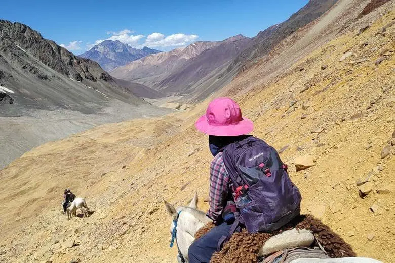
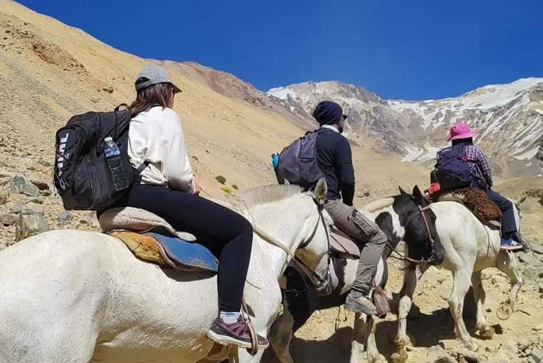
Trekking or horseback to Valle de las Lágrimas, Malargüe
Four days in the high mountains to the 1972 crash site, near the Chilean border.

In short
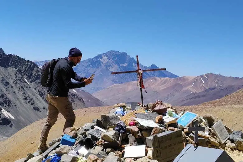
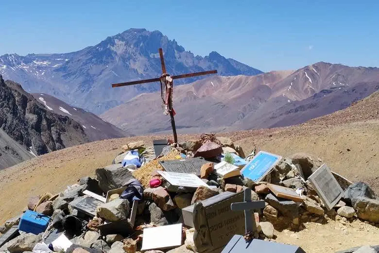
Valle de las Lágrimas is a high mountain valley in Malargüe, on the Argentina-Chile border, where a Uruguayan Air Force plane crashed in 1972. The trip lasts 4 days and is done on foot or on horseback, with guided groups. It departs from Malargüe and passes through El Sosneado, ending at the memorial and the remains of the plane.
The itinerary
- Departure from Malargüe, heading north on National Route 40 for about 50 kilometers.
- Turn west onto Provincial Route 220, a gravel road, toward El Sosneado.
- At El Sosneado the trek or ride begins, with muleteers and pack mules.
- A former thermal hotel serves as a stop before the most demanding stretch.
- Camps along the way, such as El Barroso, and crossings of streams and the Lágrimas River.
- Arrival at the valley, at about 3,600 m, with the memorial and the plane remains.
What you will see
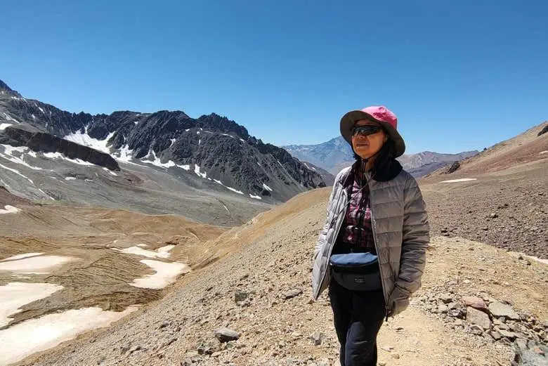
The Valle de las Lágrimas is in the Malargüe mountains, near the Chilean border, at about 3,600 meters above sea level. On 13 October 1972, a plane carrying 45 people crashed there, and 16 survived. News that there were survivors arrived only 72 days later, at a place that is now a memorial with plane remains. The name predates the accident.
The route crosses lagoons, glacial valleys and the Lágrimas River. One explanation for the name refers to grooves on the slopes that look like tears from afar. A bill presented in the provincial Senate seeks to declare the site a Provincial Memory Site. Special glasses are recommended, since the rocks in the valley can irritate the eyes.
Tips
- Reserve with a company registered with Mendoza's tourism agency, since the valley is private land.
- Check the season first: the trekking to the site usually runs from late November to mid-March.
- Bring protective glasses and warm clothing, since altitude and extreme cold make the walk hard.
- Expect a demanding trek with camping along the way.
- Check road conditions before setting out, since the gravel stretch to El Sosneado can be in poor shape.
Who it suits
- History enthusiasts
- The site is a memorial with remains of the 1972 plane, tied to a well-known survival story.
- Experienced hikers in good shape
- The route is demanding and reaches about 3,600 meters of altitude.
- Horseback riders
- The trip can be done on horseback as well as on foot.
Frequently asked questions
How long does the trip last?
It lasts 4 days. Depending on the company and the route, the trip can take from about three to five days.
Where does it leave from?
The trip departs from Malargüe. The overland approach runs through El Sosneado, about 50 kilometers from Malargüe along National Route 40 and then gravel roads.
Can you reach the site by car?
No. The site is reached only on foot or on horseback, and the valley is private land, so you need an organized expedition with a company.
When is the season?
The trekking season runs from late November to mid-March, though in one season it was extended to April. Confirm dates with your operator before you travel.
Do I need to hire a company?
Yes, it is recommended to hire a company registered with Mendoza's tourism agency. Registered companies provide specialized guides, muleteers with horses for river crossings, and support in emergencies.
Other tours

Atuel Canyon Day Trip from San Rafael
Atuel Canyon in one day: rock walls, El Nihuil dam, Valle Grande and a winery.
See tour →
Los Reyunos Lake and Villa 25 de Mayo Tour, San Rafael
Diamante River, Mendoza's most water-filled reservoir and the village where San Rafael was born.
See tour →
Las Leñas Day Trip from San Rafael, Mendoza
Full day through the southern Mendoza mountains, with mountain stops and free time at Las Leñas.
See tour →