Adventure and nature
Trekking to El Salto Waterfall, Potrerillos, Mendoza
A 6 to 7 km hike to a glacier-fed waterfall in Potrerillos.

In short
The tour goes to El Salto waterfall in Potrerillos, about 80 km from Mendoza city. It lasts between 7 and 9.5 hours, and the trail covers roughly 6 to 7 km at moderate to low difficulty. Highlights are the creek canyon, the glacier-fed fall and views of the Cordón del Plata.
The itinerary
- From Potrerillos, take Provincial Route 89 and follow the turn-off to El Salto.
- Past the end of the paved road, keep on dirt to a gate marking the entrance to Estancia El Salto.
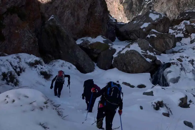
- Start walking up the gorge beside the creek, through a stretch with plenty of vegetation.
- About halfway along the valley, the trail turns left and a steep climb begins among rocks.
- The waterfall appears two to three hours after setting off, with a lookout over the drop.
- From the waterfall, some hikers continue toward Cerro La Montura, named for its saddle-like shape.
What you will see
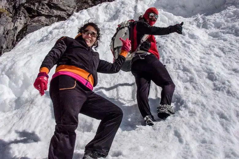
From the start you notice the El Salto creek gorge, with rock formations and plenty of greenery. The village is greener and damper than the rest of the mountains in Mendoza, a strong contrast in such a dry province. The waterfall is fed by glacier water and reaches its highest flow in spring and summer. In winter, part of the fall freezes and the surroundings turn white, making different postcards.
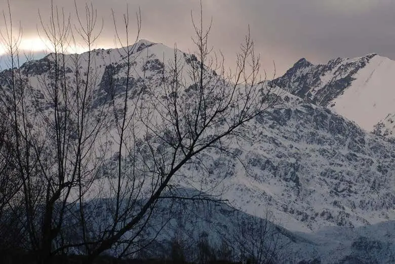
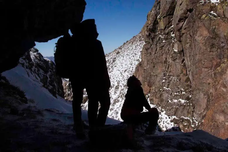
The trail is rated moderate to low in difficulty and runs about 6 to 7 km. Toward the end the route climbs among rock formations until it reaches a raised point with a view of the fall. From the waterfall you can continue toward Cerro La Montura, named for its resemblance to a horse's saddle. Along the way there are wide views of the Cordón del Plata.
Tips
- Bring water and sturdy shoes, since the final section has climbs over rocks.
- Choose spring or summer to see the highest water flow; in winter the fall can freeze.
- If you use public transport, check timetables, since the return bus can change on weekends.
- The last stretch of access road is dirt, so drive slowly and carefully.
- For a longer visit, consider staying overnight in the village or nearby.
Who it suits
- Families
- The trail is moderate to low in difficulty, and the whole family can do it.
- Photographers
- The glacier-fed fall changes with the seasons, and in winter the surroundings look white.
- Hikers with mountain experience
- The route covers about 6 to 7 km with rocky climbs, so it suits people already used to walking in the mountains.
Frequently asked questions
Where is El Salto waterfall?
It is in El Salto village, Potrerillos district, Luján de Cuyo, about 80 km from Mendoza city. It is not in Valle de Uco, which has a different waterfall, Chorro de la Vieja.
How long does the hike take?
In total it takes between 7 and 9.5 hours. Some people manage about 6 hours of trekking, or around 3 hours to reach the waterfall, depending on pace.
When is the best time to go?
Flow is highest in spring and summer, while in winter part of the fall freezes. It's best to go between spring and autumn, when the weather is pleasant.
Can you get there by bus?
A bus leaves Mendoza's bus terminal around 8:25 and returns around 17:00. Times change on weekends, so check before you go.
How difficult is the trail?
It is a mountain trail that follows the creek, with rocky climbs near the end. Its difficulty is moderate to low, and the route covers about 6 to 7 km.
Other tours

Rafting on the Mendoza River: Potrerillos Adventure
Paddle Andean rapids on the Mendoza River, leaving from Mendoza city, in 2 to 6 hours.
See tour →
Potrerillos Reservoir Kayak Tour: 8 Hours
A full day of kayaking on Potrerillos Reservoir, with views of the Andean foothills.
See tour →
Potrerillos Reservoir Zip Line, Mendoza
A 1 to 2 hour zip line above Potrerillos Reservoir, in Mendoza's mountain foothills.
See tour →